Sampsonite
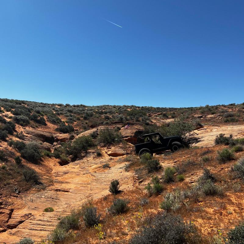
This new 2.25 mile trail starts at the first Hard Left bend of Wayne’s World before crossing back over east fenceline twisting and winding your way toward areas to test your Tilt Meter determined by the terrain before, eventually working your way through a few canyons and slick rock climbs, while taking in the expansive views.
Scenery
Beautiful views of the Sand Hollow Reservoir, Pine Valley Mountains, & Kolob Canyons immediately to the north, Hurricane Mesa and Zion National Park to the west.
Surface
Two track Sand, Slickrock (sandstone), Loose rocky climbs, Off-Camber
Trail Details
Sampsonite trail begins near the start of “Wayne’s World.” The first obstacle ahead of you is a baby Lion’s Back, the first of Many photo opportunities. Next are a couple of off-camber turns that provide a good warm up. Crossing East Fenceline Rd into an open field of off-camber sand switchbacks with plenty of opportunities to look back at your friends as they maneuver the obstacles that you just got through. Maneuvering through wide open fields on two-track sand the trail eventually enters a tight canyon that is the start of many tight turns climbs and many more switchbacks. Taking full advantage of the canyons the trail switchbacks on itself many more times to get the most out of this terrain. Losing a large amount of Elevation you’ll find yourself close to the first few obstacles of Front Range, an 8-rated trail before climbing back up onto the ridge you just descended from. Eventually crossing the Papa Smurf near the start, the trail explores another canyon climbing to the highest elevation point of the trail. The trail then descends back toward Front Range and crosses near “Split Pea Soup Bowl”. One final climb back up to Fenceline Rd before climbing the final canyon to the end of the trail. Optional V Notch on the Right with a tricky exit. Crossing E Fenceline Rd. from there the trail follows a small wash to the intersection of East Rim, Wayne’s World, & The Fallen
Trail Rating
Trail Notes
Length:Min Tire Size: 31+ inches
Winch: No
Front Locker: No
Rear Locker: No
Trail Gallery